Services provided by CNC Surveying, LLC include boundary surveys, engineering and architectural related topographic surveys, title surveys for real estate, flood certifications and map amendments.
ALTA Title Surveys for Land Sales
ALTA – American Land Title Association surveys are conducted at the request of banks and lenders prior to closing a land sale transaction. ALTA is a comprehensive survey showing above and below ground improvements and recorded easements, zoning, and other legal matters affecting allowed property use.
As-Built Surveys
As-Built surveys are needed by lenders, banks, insurance companies, and architects to verify that construction was built correctly and that sites adhere to design plans.
Boundary Survey with Surveyor’s Certificate
A boundary survey is measured on the ground and/or set with monumented markers at the corners and angle points of the perimeter line. Encroachments (physical improvements over the boundary line) are shown with dimensions. A legal description for the parcel is written citing bearings and distances. Lot line “calls” (naming adjoining property) in the description help to clarify the boundaries.
Cadastral Surveying
Public lands in the western United States are divided into sections, townships, and ranges. This Government Land Office system was established to facilitate granting agricultural lands to homesteaders since the 1800s. The cadastral system is the framework for subdivision of large tracts of land. Legal descriptions for subdivision plats are referenced to the Public Land System with ties and callouts to adjoining boundaries.
Certificate of Survey
The drawing prepared by a registered land surveyor to show the map of a lot survey is often called a survey or a plat. More accurately, this document is called a “lot survey certificate”. The drawing document shows lot boundaries and found or set corner markers. The platted lot(s) are shown with lot numbers and plat names. Discrepancies or conflicts with the boundary found in the field are shown on the drawing. The Lot Survey Certificate is usually recorded at local and state jurisdictions.
Construction Staking of Buildings and Infrastructure
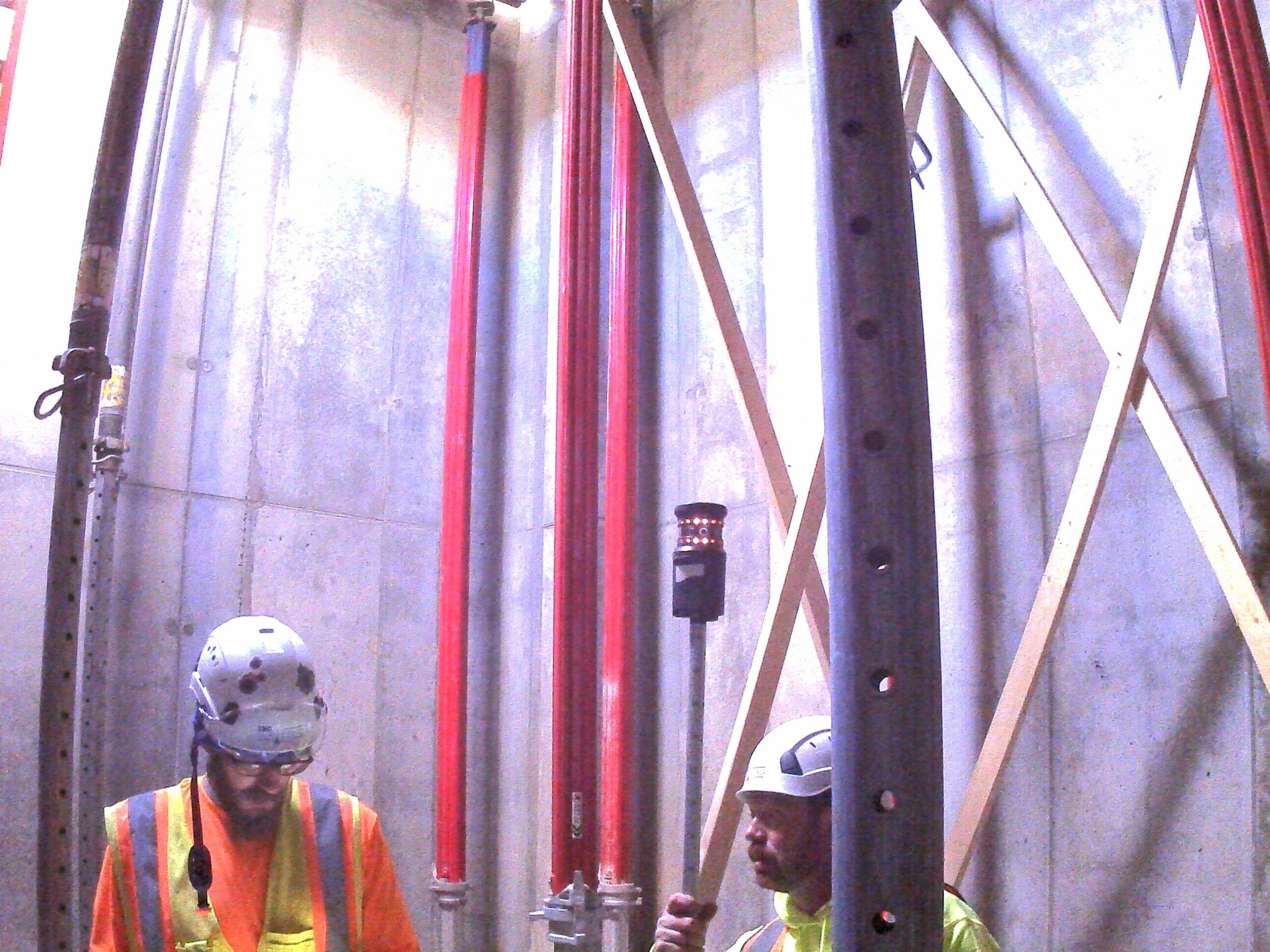
Construction Staking is a surveying service provided by CNC Surveying to assist construction companies and contractors with horizontal and vertical layout of bridges, streets, sewers, utilities, site grading, buildings and column lines. We stake plans from dimensions, not CAD files.
Easements for Utilities, Access and Other Land Use
Easements reserve the right to another for land uses under and on owners’ property. Municipal utilities crossing private property are a good example. Easements can come in many forms including vehicle or pedestrian access, parking, or appurtenant easements.
FAA 2C Elevation Survey and Certificate
FAA 2C Certificates are required by municipal permitting and Federal Aviation Administration for existing and proposed structures in near proximity to airports and landing strips. Objects position and height are recorded with their latitude and longitude and elevation in Mean Sea Level datum. The object (light poles, buildings) may be restricted because it interferes with safe navigation of aircraft in and around airports.
FEMA Flood Elevations
Federal Emergency Management Agency (FEMA) is a national agency who regulates, mitigates, and manages flood related matters. CNC Surveying performs flood surveys and completes paperwork such as e-LOMA and LOMR-F applications. Some of these documents are for public viewing and recording. CNC keeps a repository of flood related information, studies, data and applications for the Omaha area.
Geographic Information Systems
Mapping information compiled into a database is called a Geographic Information System. Different overlays of thematic data can be shown together and Boolean measurements made for site assessments, queries, planning, and quantification. Most cities have a GIS to manage their infrastructure. The framework of a GIS should be the cadastral survey of Public Lands. Mapping projections and coordinate systems facilitate design and layout for elements captured in the GIS with associated minimum accuracies for the application.
GPS for Project Control
Global Positioning System (GPS) is an earth satellite-based technology https://en.wikipedia.org/wiki/Global_Positioning_System in use since the 1980s. Begun as a U.S. military resource, GPS has become more widely available to commercial and private industry. Location is to GPS as Time is to clocks. Surveyors use GPS for precise location determination when preparing control surveys to establish monuments for construction or mapping.
GPS for Topographic Surveys and Utilities Mapping
See GPS for Control. The GPS system can also be used to determine elevations above or on the surface of the earth. Surveyors use GPS for Elevation to locate the height of monuments and existing features for mapping and construction reference points. GPS is the basis for mapping and photography of earth’s land, infrastructure and resources. Universally available elevation and position enables technologies such as land, air and sea navigation. GPS remains a military resource, and it is used for warfare navigation of drones, missiles and aircraft.
Legal Descriptions for Land Transactions
Legal Descriptions are used by attorneys, municipalities and other government, to convey property or use of property. Legal descriptions can follow many different formats. Surveyors and others can write legal descriptions to be used in conveyance documents by attorneys, title companies, utility companies, landowners, and land buyers
Lot Survey for Residential Property
A lot survey is required by municipalities, lenders, banks, attorneys, buyers, and others to understand the measured location of lot property lines. Typically, these surveys are done for platted residential lots when a landowner wishes to construct a fence, sell the lot, improve the house or other major structure on the lot such as a garage or pool. Usually, there is only one residential address per lot.
Permitting Assistance for Special or Conditional Use
Prior to permitting by the City, a site plan is required showing existing and proposed features. The site plan includes requirements of the Zoning District such as parking, building setback, impervious surface and landscaping. CNC provides assistance to developers in preparing change of zone or special use permits or conditional use permits.
Preliminary Platting for Land Development
Preliminary plats are prepared by surveyors for architects, developers, and others. Typically, a municipality will look at a preliminary plat to review current property conditions and to consider future land changes. Much like a site plan, the boundary, easements, improvements are shown. A site plan will also show proposed improvements in the same drawing so planned improvements can be understood.
Right-of-Way Surveying
Right-of-Way is a public boundary corridor for streets, roads, and utilities. It is the line between public and private lands. Public lands contain manmade or natural resources for public use. Private lands may contain the same resources, but an easement dedicated to the public is required. CNC Surveying does right-of-way surveys for the City of Omaha and other governmental organizations.
Subsurface Utilities Engineering (SUE) Survey Drawings
Subsurface Utilities Engineering is a standard for classification of accuracy of underground utilities. Because utilities underground cannot be seen, the reported accuracy of the measurement helpful to a civil engineering designer. When close tolerances exist for proposed crossing utilities, excavated physical (rather than electronic) evidence is necessary. So the engineer understands the reliability of information shown, a tag is assigned with the location and accuracy statement.

