
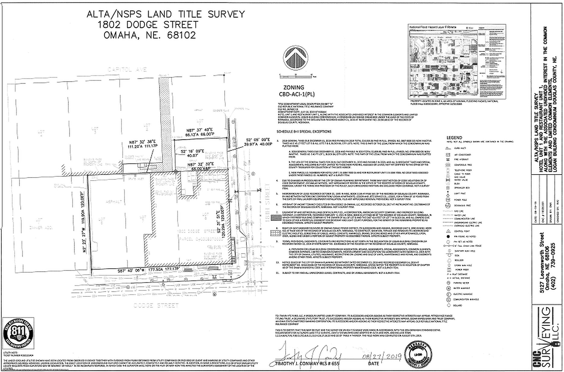
An ALTA survey is the Queen of all land surveys. ALTA means American Land Title Association, who has partnered with NSPS National Society of Professional Surveyors to define, detail, and standardize these comprehensive surveys done prior to real estate transactions.
The function of an ALTA is to identify discrepancies between recorded land documents and actual field situations. A common example is a transmission (not service) utility line crossing over property that has no record of an easement granting permission to cross. An unrecorded utility becomes a problem when a building is placed over it. Also, if an easement exists but the utility was constructed outside of the easement, the discrepancy is identified in the survey for the title company to remove title coverage for this “exception”.
Attorneys review the ALTA surveys and examine the potential exceptions item by item. A title company is not responsible for an item not shown in the ALTA survey so it becomes critical that the surveyor find any and all features above and below ground to show with the recorded easements.